 26550 22012
 info@konitsathermal.gr
 Amarantos, Konitsa, 44100
Hiking - Mountaineering
Konitsa Thermal Center
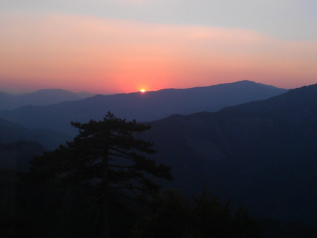
Majestic mountains, impressive ravines, diverse geological formations, rich and dense forests, rapid rivers, impassable paths, small fertile valleys and among all these the picturesque town of Konitsa with its plain at its feet and numerous large villages on its slopes North Pindos.
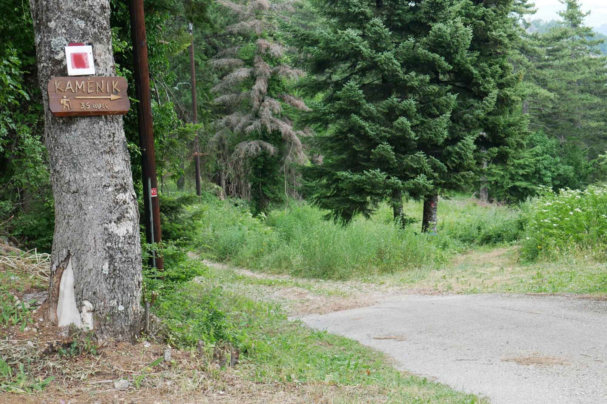
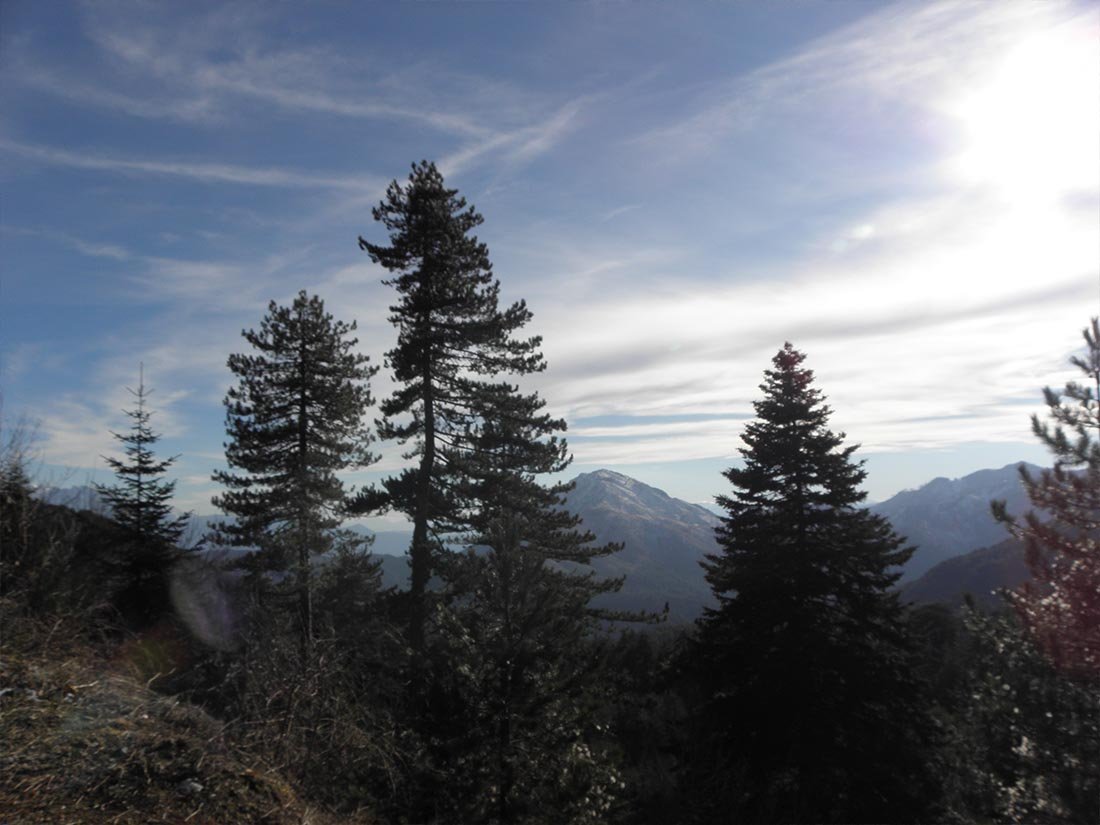
Kamenik
Altitude 2042m. 7-hour return route.
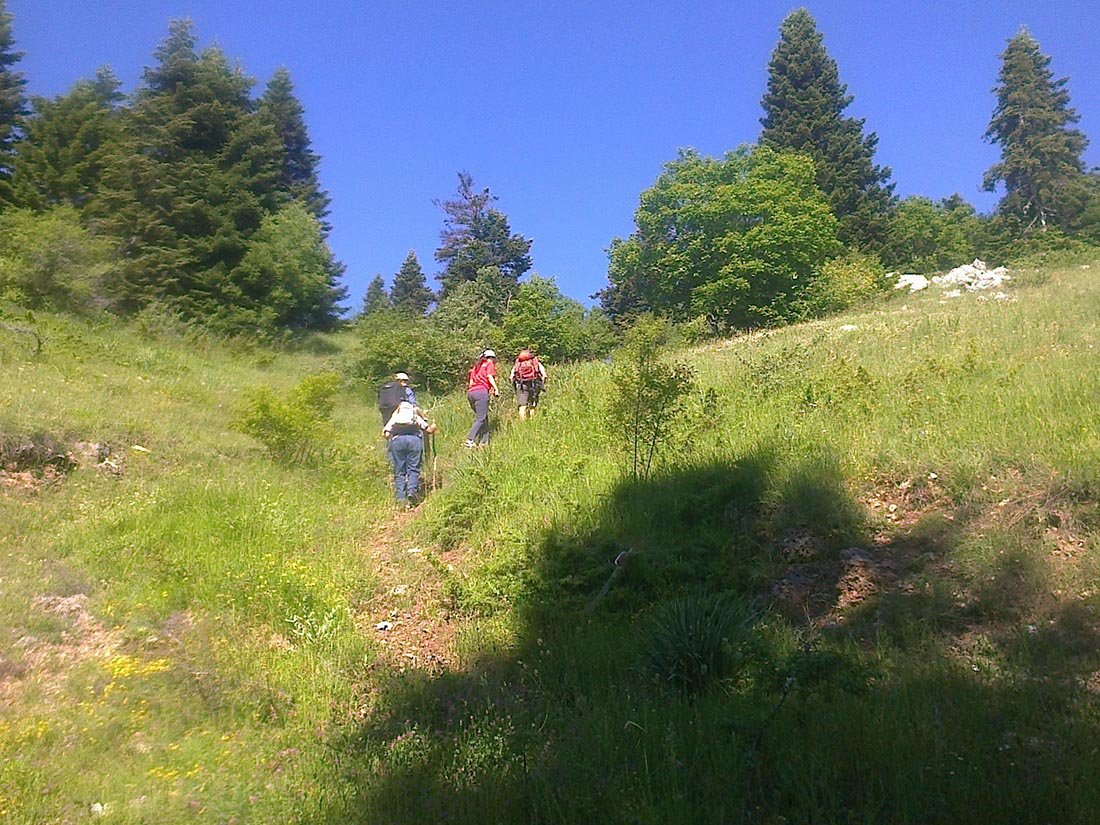
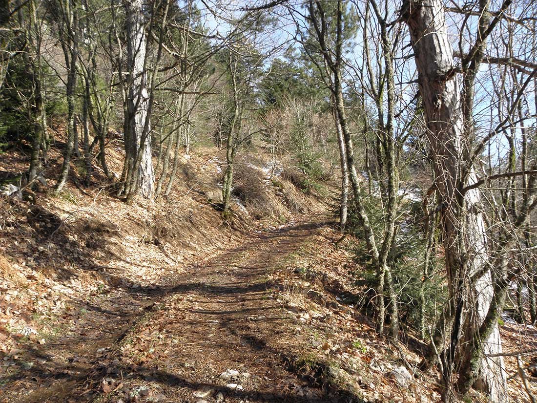
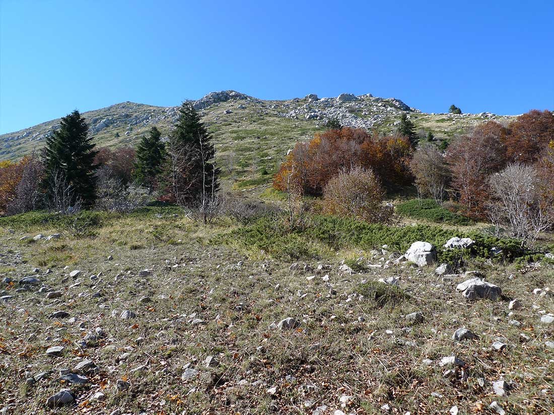
We start from Baths of Amarantos and first take the forest road, until we reach the uphill path. It is a long circular route of 7 hours, with a magical view. Vast forests cover a large part of the mountain, black pines, beeches and firs dominate and create a lush landscape. The area is also home to oaks, elm and many rare, even endangered plants and wildflowers.
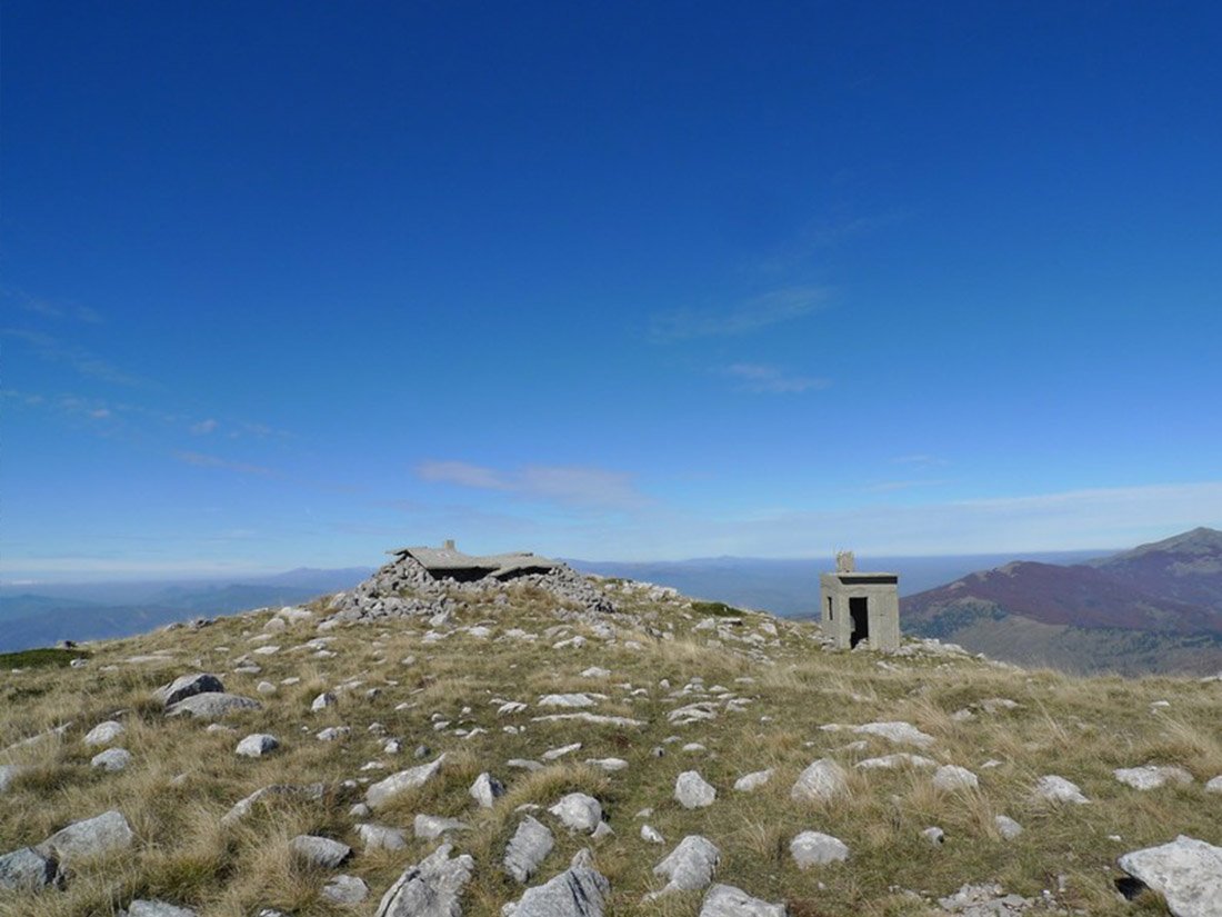
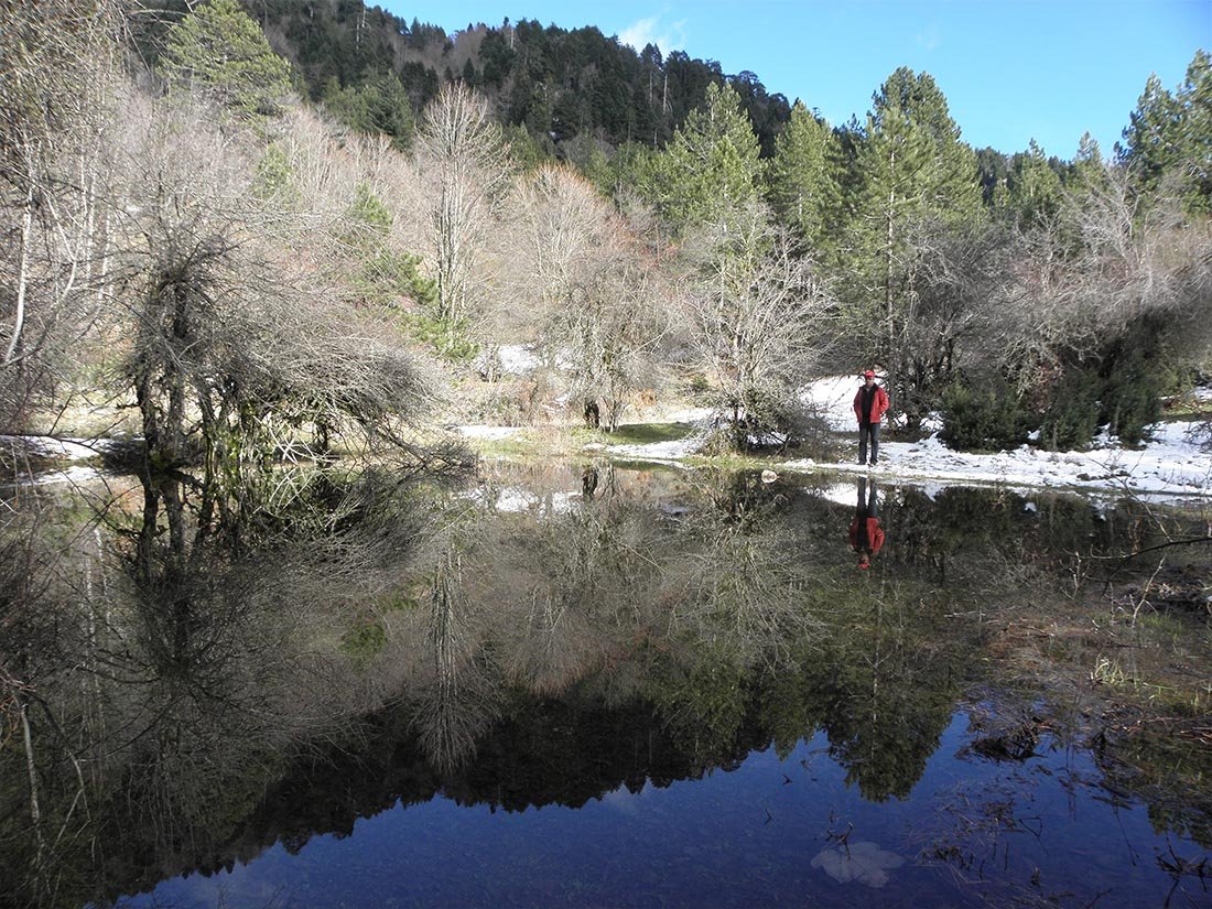
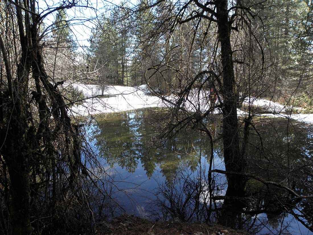
We reach the alpine zone and in 20 minutes we are at the top of Kamenik mountain (2042 m.) In front of us are the ruins of the Military outpost, the kitchen with the fireplace, the pyramid, the barbed wire, the machine guns and the fortifications of war. The view from the top is unique and hawks and eagles fight with the wind which is very strong. We take the return route for a few minutes and then change direction, descending to the semi-alpine lakes, which are full from November to June. There are newts in the waters of the lake. We continue our return from the dirt road. Returning to Konitsa Thermal Center, a warm rakomelo and a relaxing steam bath are waiting for us.
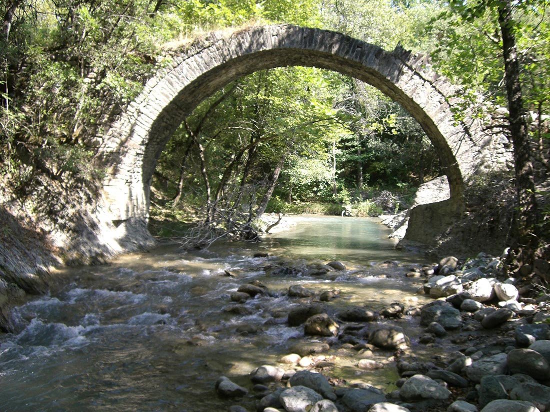
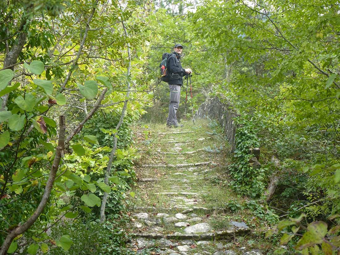
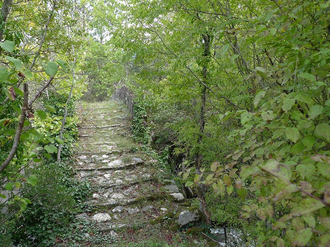
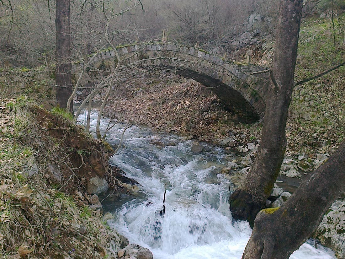
Stone Bridges
From 500m to 1260m. 5,1/2 hours route.
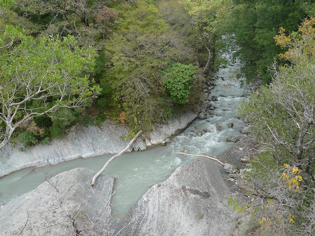
Our route starts from the dirt road, 2 km after the big bridge to Amarantos in the ravine of Sarandaporos. We leave the asphalt and continue for an hour the dirt road. We reach the first stone bridge of "Smixi" and there we walk for a long time next to the riverbed, overgrown with lush vegetation. We can stop, if it is summer, in the swimming pools for a quick swim (there is a sign).
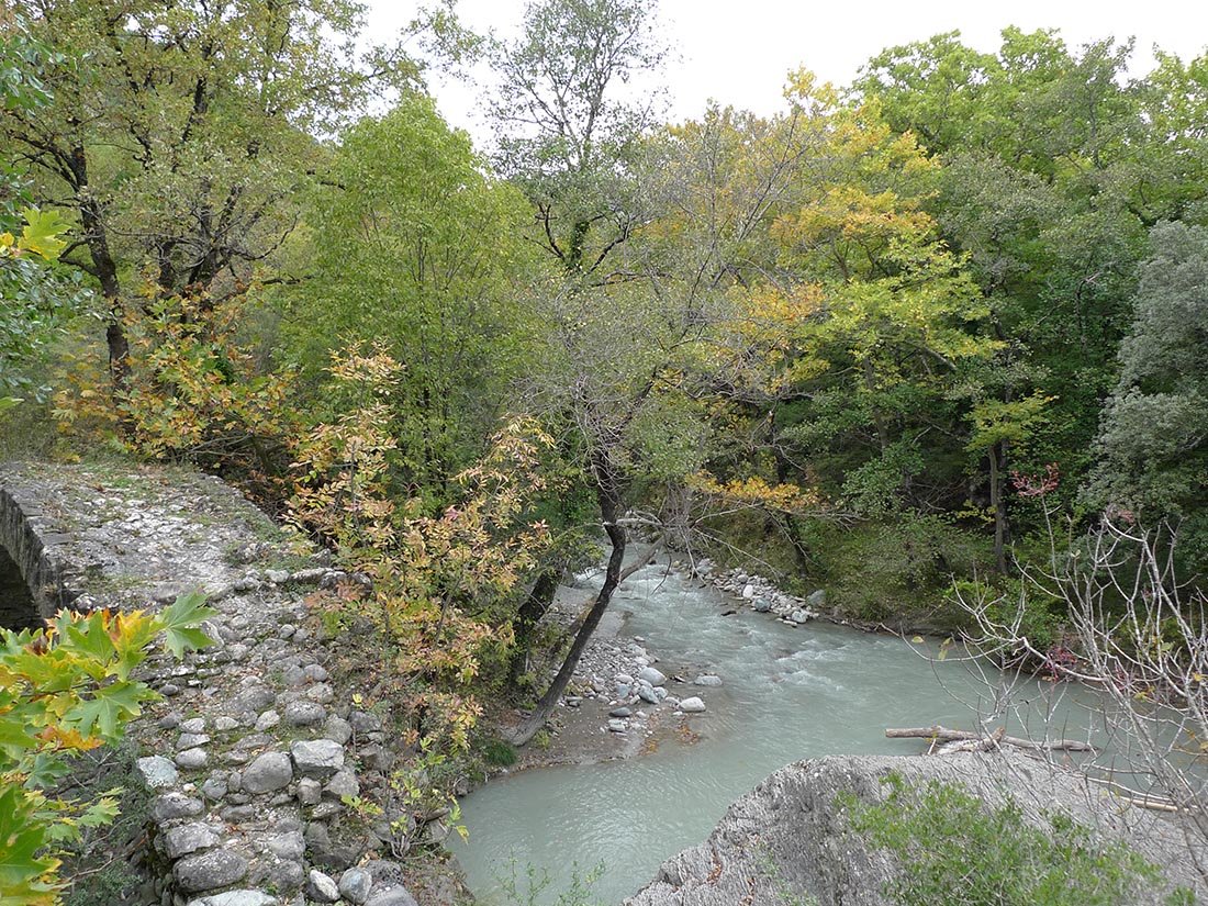
After a journey of about an hour, we meet the second stone bridge of "Orla", which was arched, but was destroyed around in 1910 by a heavy downpour. We continue our course and in 20 minutes we are at the third stone bridge of "Giatsi", it is the highest and largest of the five of Ziasiakas river. After an uphill journey of 20 minutes we reach Agia Varvara. There is a sign to Amarantos, at the fountain of the village, next to the church of Agios Nikolaos, which was built in 1880 and has a wooden iconostasis and Hagiographies by Chioniadite Hagiographers.
At a distance of 10 minutes we meet the fourth stone bridge of Mylos and we ascend to Amarantos. In the square of Agios Georgios we fill our hermitages and go up to our final destination of Baths.
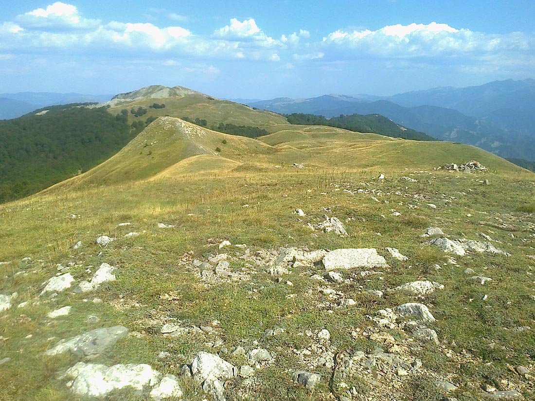
Maria
Altitude 1637m. 7-hour route.
The first 4 km of the route is a dirt road and then you continue the path. Convenience at the beginning of the route brings us quickly up, but the slope changes quickly without warning us. The difficulty of the climb is not great, but when we reach the saddle it needs more attention, especially if it is snowing. The view from the top is magical.
We are located in the center of mountains and around us Smolikas, Tambouri, Voio, Arenas, Grammos, Kamenik, the mountain range of Leskoviki in Albania, Nemertsika, Peristeri, Astraka and Tymfi. In the background the green plain of Konitsa and the rivers Aoos, Voidomatis and Sarandaporos descend like big snakes to Nemertsika.
The return is made by the same road.